(It’s not a typo)
In case you’ve not heard of it, Wandrer (https://wandrer.earth/) is a website that allows you to track which roads and paths you’ve ridden on by consuming your strava data. It then gamifies things by telling you the percentage of each areas roads you’ve ridden and having monthly league tables. This is the sort of thing that’s right up my street (sic). Riding about, ticking things off, perfect!
I had a look quite some time ago and had a quick play but quickly realised it would mean riding up and down endless residential streets once all the main routes were ridden. But then Covid happened and we were advised to keep exercising but stay local. It’s almost like Wandrer was invented for lockdown….????
Anyway, so after some pressure from cycling friends who were already doing it, I had another look and decided to see how much of Wigan, UK (where I live), I could ride. I did immediately recognise that as I neared 100%, it would get quite tricky to get those last few miles so set myself an end date to avoid getting annoyed with it, the end of 2021. And here we are.
So, lets take a look at Wigan.

Wigan had, when I started, around 960 miles of ‘roads’. They’re not all roads by any means, there’s a lot of bridleways, footpaths, gravel tracks, pavements, canal towpaths and sheep tracks in that lot. Wandrer takes it’s data for creating the network from OpenStreetMap which, I’ve found, is often not very accurate when it comes to the classification of rights of way. Users are encouraged to update details with on-the-ground knowledge which I have been doing but it’s a slow process, around 3 months between updates to the Wandrer map.
Summary
I appreciate most people won’t want to read the whole thing here so as a quick summary:

End of Summary
Anyway, I digress. When I started I thought I’d start close to home and gradually work my way out wards but after 27 minutes of doing that I realised I would die of boredom pretty quickly so changed tack immediately. I would ride somewhere, do some of the boring stuff, then ride somewhere else and do some of the boring stuff. And when I say boring stuff, I mean riding up a residential road, turning around at the end, head up and down another residential road, repeat. Older estates aren’t too bad for this as they’re usually laid out in grid fashion but newer estates are almost always low traffic neighbourhoods like this.

That’s *a lot* of cul-de-sacs. Do not let anyone tell you Low traffic neighbourhoods (LTN’s) are a new invention or not used anywhere with success. I’d say as far back as the 70’s they were building them judging by some of the estates I’ve ridden round.
I assumed, that Wigan would have lots of wonderful sights to show me, secret vistas, awe-inspiring trails, beautiful houses. Errrrm, nope. With a couple of exceptions, Wigan isn’t a very beautiful place I’m afraid. A lot of it is quite depressing. I’m going to single out some really grim places. Platt Bridge is depressingly run down in places, parts of Poolstock, Marsh Green, Ince and Higher Folds should all really be avoided.
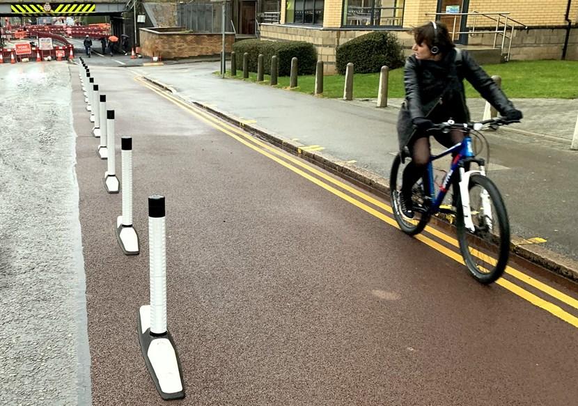
One thing I did learn, is the fastest and safest routes from any point in Wigan to any other point in Wigan, now there’s real knowledge. I also became incredibly familiar with Wigan’s cycle infrastructure, good and bad. Spoiler: Most of Wigan has nothing at all, Wigan town centre is developing some and some of the new estates are built with a few cycle/walking paths. Some of it is absolutely diabolical and introduces far more danger than it solves. I’m looking at you, Highfield Grange Avenue. I only rode it once, that was enough. Cyclists are forced to weave left and right in the cycle lane. It’s fine when you weave left, it’s when you have to weave right back out into the road the that obvious issues happen.

Which brings me to legalities. When I first started this, I was very wary of riding up any road that loked like it might be private and was at pains to plan rides that obeyed all the one way systems, added a lot of distance on. BY the end I was riding past private road signs (because it was easier than updating OpenSource maps), doubling back along one way streets and I have employed a great deal of pavement riding.
Anyway though, here we are at the end. It’s been interesting most of the time, it certainly got me out on my bike riding new places which is always good. I’ll keep my subscription to Wandrer going a few years yet. It’s cheap and I may still get some of those extra roads. I’m never going to ride along the East Lancs to get that though. In the new year, Covid notwithstanding I’ll probably return to my one true love, Veloviewer tiling.
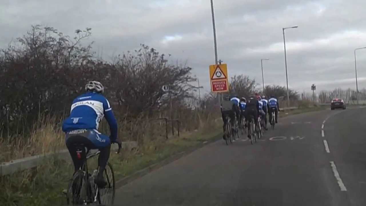
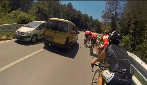
More of this kind of thing though.
:strip_icc()/pic682104.jpg)


![China witnesses toll-free holiday travel peak[1]|chinadaily.com.cn](https://www.chinadaily.com.cn/business/img/attachement/jpg/site1/20120930/0023ae606e6611d21f7b17.jpg)